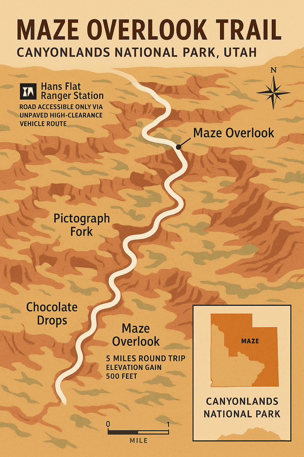
Maze Overlook Trail – Canyonlands National Park
Overview
The Maze Overlook Trail is one of the most awe-inspiring hikes in Canyonlands National Park, leading to a jaw-dropping viewpoint above one of the most remote and rugged landscapes in the United States. From this perch, you’ll see a sprawling labyrinth of sandstone fins, canyons, and cliffs that give the Maze District its name. The sheer scale is hard to capture in photographs — this is a place you have to see in person. Because the Maze District is the least accessible area of the park, reaching the trailhead itself is an adventure. For those who make the journey, the Maze Overlook offers a sense of solitude and connection to the wild desert that is unmatched anywhere else in Moab.
Quick Facts
Location: Maze District, Canyonlands National Park, Utah
Distance: 5 miles round trip
Elevation Gain: Approximately 500 feet
Difficulty: Moderate
Best Time to Hike: Spring (March–May) and Fall (September–November)
Trail Type: Out-and-back
Dog Friendly: No
Permits: Required for overnight trips; day hiking does not require a permit but a park entrance fee is required.
Getting to the Trailhead
The Maze Overlook Trail is located deep in the Maze District of Canyonlands, which is accessible only via high-clearance, 4WD roads. From Moab, you’ll need to drive south on Highway 191, turn onto UT-95, and then follow the dirt road toward Hans Flat Ranger Station. From Hans Flat, it’s a rough 4WD track to the trailhead. Plan on at least 5–6 hours of driving from Moab, depending on conditions. Always check with the rangers before heading out — recent rain can make the roads impassable.
Trail Description
The trail begins at the Maze Overlook Trailhead and follows a marked route over slickrock and sandy washes toward the rim. Almost immediately, you’ll start seeing glimpses of the massive canyon system below. The hike is relatively short, but the terrain is uneven, with sections of exposed rock and loose sand.
At the end of the trail, you’ll arrive at the overlook itself — a breathtaking 270-degree view of the Maze. From this vantage point, you can see deep into canyons such as Pictograph Fork and the Chocolate Drops, as well as the distant buttes and mesas that define the Canyonlands skyline. The silence here is profound, broken only by the wind. Many hikers bring binoculars to spot details in the rock formations below.
Best Time to Visit
Spring and fall are ideal for hiking the Maze Overlook Trail, with mild daytime temperatures and cooler nights. Summer is extremely hot, and there is almost no shade on the trail. Winter brings fewer visitors but can also bring snow and icy patches. Always bring more water than you think you need and be prepared for total self-reliance — there are no services in the Maze District.
What to Bring
Plenty of Water – At least 2–3 liters per person
Sun Protection – Hat, sunscreen, and sunglasses
Sturdy Hiking Shoes – Preferably with good traction for slickrock sections
Navigation Tools – GPS, map, and compass; do not rely solely on cell service
Snacks or Lunch – The overlook is a perfect spot for a meal with a view
Safety Tips
The Maze is remote and rugged — be prepared for self-rescue in case of emergencies.
Roads can become impassable after rain. Check weather and road conditions before you go.
There is no water on the trail.
Carry a satellite communicator or emergency beacon if possible.
Photography Tips
The best light at the Maze Overlook comes in the late afternoon, when the low sun casts long shadows into the canyons, highlighting their depth and texture. Early morning can also be beautiful, with softer colors and cooler temperatures.