Canyonlands National Park – Your Complete Hiking Guide
Introduction
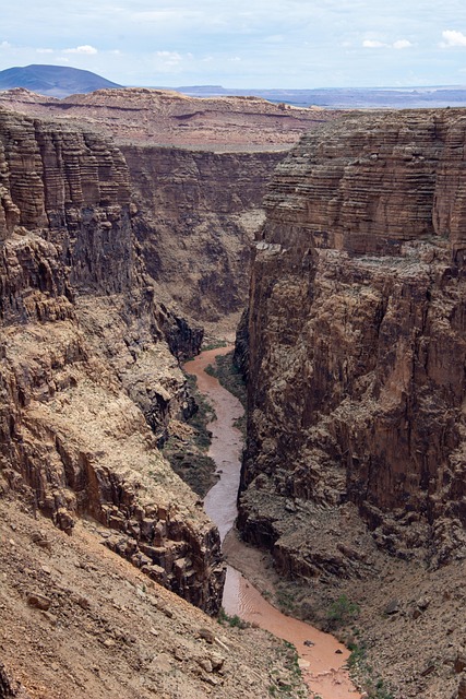
Canyonlands National Park is a vast wilderness of sandstone cliffs, twisting canyons, towering mesas, and breathtaking desert vistas carved by the Colorado and Green Rivers. Located in southeastern Utah, just 30 miles from Moab, Canyonlands is divided into three distinct districts: Island in the Sky, The Needles, The Maze, plus the Colorado and Green Rivers which flow through the park.
While all are part of the same park, each offers a completely different hiking experience. Whether you want a quick walk to a stunning overlook, a challenging day hike through red rock labyrinths, or a multi-day backpacking trip into remote desert wilderness, Canyonlands delivers.
For hikers visiting for the first time, understanding the layout of the park, its weather patterns, permit requirements, and trailhead logistics is essential for making the most of your time.
Getting to Canyonlands National Park
Entrance to the park is not a single entry point, and your access will depend on which district you plan to visit.
Island in the Sky District
Closest Town: Moab, Utah
Distance from Moab: About 32 miles (45–50 minutes) via US-191 North and UT-313 West
Best For: Scenic overlooks, short hikes, and first-time visitors
Popular Trails: Mesa Arch, Grand View Point, White Rim Overlook, Murphy Point
The Needles District
Closest Town: Monticello, Utah (60 miles) or Moab (75 miles)
Distance from Moab: About 1 hour 45 minutes via US-191 South and UT-211 West
Best For: Long day hikes, multi-day backpacking, and unique rock spires
Popular Trails: Chesler Park Loop, Druid Arch, Big Spring Canyon
The Maze District
Closest Town: Hanksville, Utah (remote, no services nearby)
Access: Requires high-clearance 4WD and self-sufficiency
Best For: Experienced backcountry explorers
Popular Trails: Maze Overlook, Harvest Scene
Colorado and Green Rivers
Access: By boat only via the Colorado and Green Rivers
Best For: Rafting, kayaking, and river hiking routes
Hiking Highlights by District
While each district could easily fill its own guidebook, here are some of the best hikes to consider:
Island in the Sky
Mesa Arch Trail – 0.5 miles round trip, easy; sunrise photographers’ favorite spot.
Grand View Point Trail – 2 miles round trip, easy; panoramic views of the White Rim and distant mountains.
Murphy Point Trail – 3.6 miles round trip, moderate; fewer crowds and a quiet sunset spot.
Upheaval Dome Overlook Trail – 1.8 miles round trip; offers views of a mysterious geological formation.
The Needles
Chesler Park Loop – 11 miles round trip, strenuous; iconic views of sandstone spires.
Druid Arch Trail – 10.8 miles round trip, strenuous; one of the most unique arches in the park.
Big Spring Canyon to Squaw Canyon Loop – 7.5 miles round trip, moderate; classic Needles scenery.
The Maze
Maze Overlook Trail – Requires route-finding; permits and advanced skills needed.
Harvest Scene – Long hike to an ancient pictograph panel.
Best Time to Hike in Canyonlands
The desert climate means extreme seasonal changes.
Spring (March–May) – Ideal hiking temperatures (60–80°F), minimal rain, and wildflower blooms.
Summer (June–August) – Very hot (90–105°F), risk of dehydration and heat exhaustion; start hikes before 8 AM.
Fall (September–November) – Cool mornings, warm afternoons, fewer crowds.
Winter (December–February) – Cold (20–50°F), potential snow, but incredibly quiet.
Permits and Fees
Entrance Fee: $30 per vehicle (valid 7 days) or use an America the Beautiful Annual Pass.
Day Hiking: No permit required for most frontcountry hikes.
Backpacking: Permit required for all overnight trips. Reservations can be made through the NPS permit system.
Day-Use Permits: Required for certain areas like the White Rim Road (Island in the Sky) and Elephant Hill Road (Needles) for motorized access.
Weather and Safety Tips
Canyonlands is a desert environment — conditions can be harsh.
Always carry more water than you think you need (minimum 1 gallon per person per day).
Check the weather for flash flood risks, especially in slot canyons and washes.
Wear sun protection — wide-brim hat, sunscreen, sunglasses.
Know your route — cell service is limited to non-existent.
Download offline maps before you arrive.
Lodging and Camping
In-Park Campgrounds:
Island in the Sky – Willow Flat Campground (12 sites, first-come first-served)
The Needles Campground (26 sites, reservations available spring–fall)
Nearby Towns for Hotels: Moab (Island in the Sky), Monticello (Needles)
Backcountry Camping: Permit required; designated zones.
Getting Around the Park
No shuttle service — you must drive to trailheads.
Some roads require 4WD — especially in The Maze and certain parts of The Needles.
Fuel up before you go — no gas stations inside the park.
Contact Information
Canyonlands National Park Headquarters:
2282 SW Resource Blvd, Moab, UT 84532
Phone: (435) 719-2313
Website: nps.gov/cany
Downloadable Hiking Resources
We recommend carrying a Canyonlands National Park hiking map or downloading the official NPS app for offline navigation.