Bureau of Land Management Recreation Near Moab, Utah
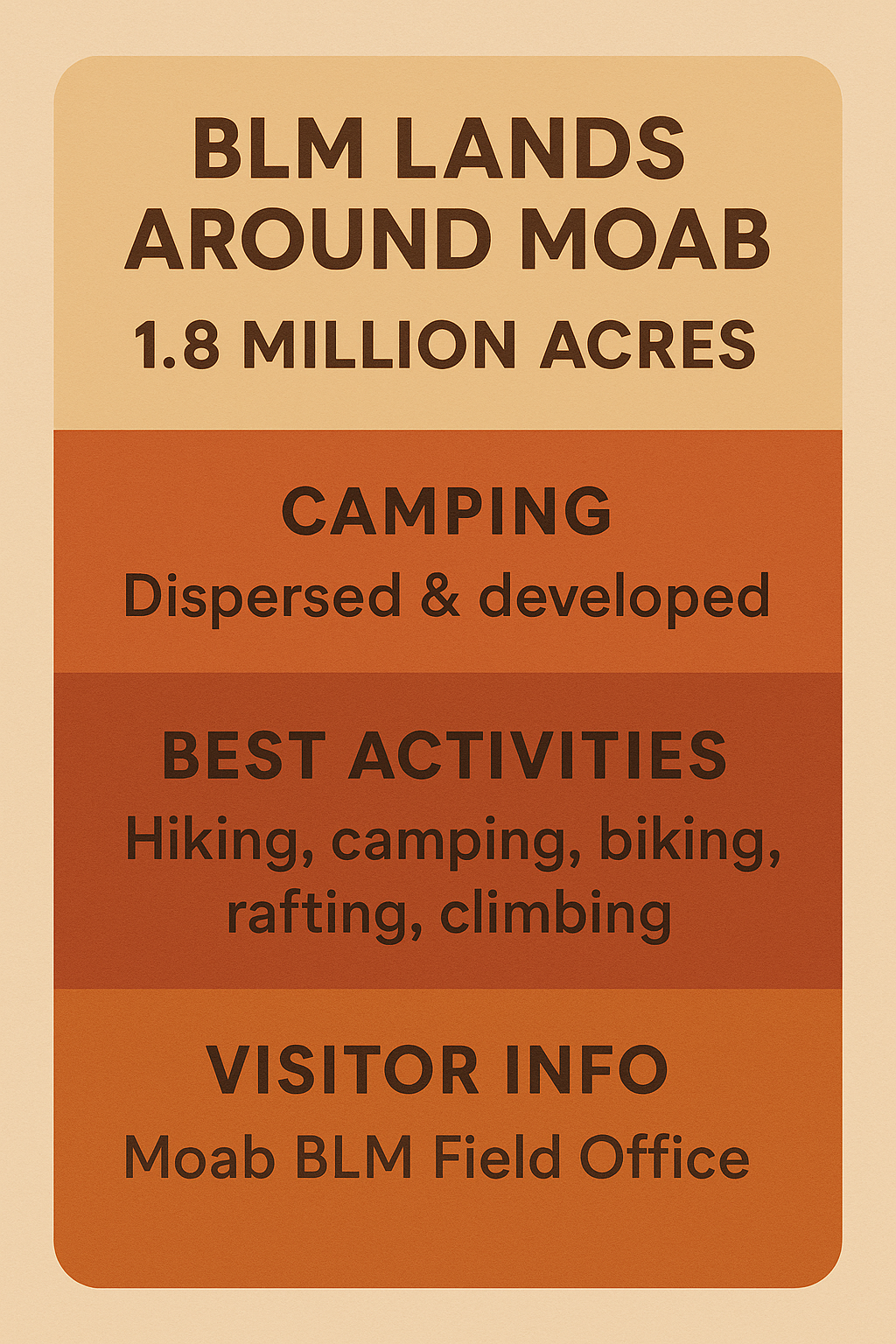
You crest a ridge and the desert opens wide—endless sandstone fins, the Colorado River carving through the canyon below, silence broken only by the wind. Out here there are no entrance gates, no shuttle buses, no fences. Just you, the sky, and nearly 1.8 million acres of public land managed by the Bureau of Land Management (BLM).
Moab’s BLM lands are where freedom meets adventure. From world-famous trails like Slickrock to hidden canyons where you’ll find solitude and starlight, these landscapes are as raw and untamed as the desert gets.
Explore Moab’s BLM Lands
Unlike the national parks, BLM lands offer more flexibility, fewer rules, and fewer crowds. You can:
Camp beneath the stars at a dispersed site far from anyone else.
Hike and bike on slickrock domes that stretch to the horizon.
Paddle the Green River through canyon walls so high they block out the sun.
Discover ancient petroglyphs etched into stone by people who lived here long before Moab was a town.
This is public land, and it belongs to everyone.
Top BLM Recreation Areas Near Moab
Each of these areas has its own personality. Use this hub to choose where your next adventure begins
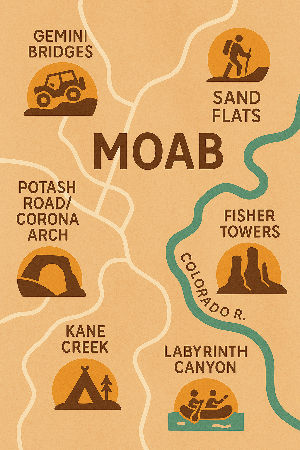
[Sand Flats Recreation Area]
Famous for the Slickrock Bike Trail, Porcupine Rim, and 4×4 routes. A playground for bikers, jeepers, and campers alike.
[Kane Creek Area]
A winding canyon road lined with towering cliffs, petroglyph panels, campsites, and trailheads leading into Moab’s rugged backcountry.
[Potash Road & Corona Arch]
A must-see stretch of highway with rock art, dinosaur tracks, and the hike to Corona Arch—one of Moab’s most iconic landmarks.
[Fisher Towers]
Soaring red spires that glow at sunset, with one of the most dramatic short hikes near Moab.
[Gemini Bridges & Behind the Rocks]
Natural twin rock spans and adventurous jeep trails with panoramic desert views.
Visitor Information
Before you head out, know that BLM land is less developed than the national parks.
Visitor Center: Moab BLM Field Office, 82 E Dogwood Ave, Moab, UT. Open daily.
Fees: Most areas are free; Sand Flats charges a per-vehicle entry fee.
Maps: Available at the Field Office and online PDF downloads.
Facilities: Many BLM areas have no restrooms, no water, and no trash service. Pack it in, pack it out.
Camping: Dispersed camping is allowed in designated zones; first-come, first-served campgrounds also exist in many popular areas.
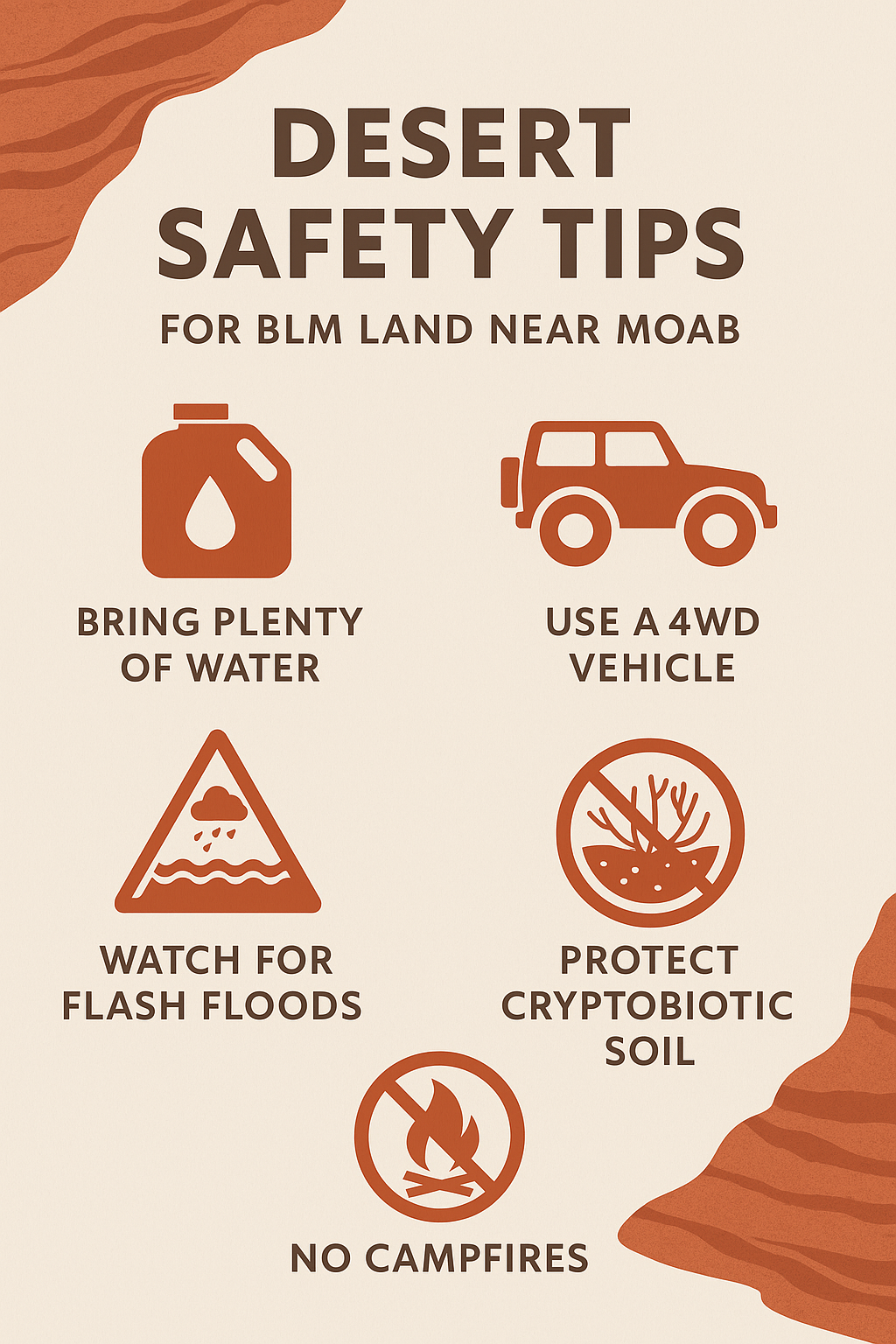
⚠️ Safety in BLM Lands
Exploring public lands gives you freedom, but it also requires preparation.
Be aware of:
Flash floods in slot canyons and dry washes.
Cryptobiotic soil — dark, crusty patches that are alive and must not be stepped on.
Limited services — no water, no cell service, no shade.
Rough roads — many require high-clearance or 4WD.
Campfire restrictions — seasonal bans are common.
👉 Always check updates at the Moab BLM Field Office before your trip.
Your Title Goes Here
Your content goes here. Edit or remove this text inline or in the module Content settings. You can also style every aspect of this content in the module Design settings and even apply custom CSS to this text in the module Advanced settings.
FAQs BLM Recreation Near Moab
Q: What’s the difference between BLM land and the national parks?
BLM lands are more open and less regulated—perfect for camping, dispersed hiking, and off-road exploration. National parks are more developed and have stricter rules.
Q: Is camping free on BLM land near Moab?
Yes, dispersed camping is free in designated areas. Some developed campgrounds (like Sand Flats) charge a fee.
Q: Do I need permits?
Most day hikes are free and do not require permits. Special activities like river trips or group events may require one.
Q: Can I bring my dog?
Yes, dogs are allowed on BLM land but must be under control. Always pack out waste.
Q: Is BLM land safe for families?
Yes—sites like Fisher Towers, Corona Arch, and Sand Flats are family-friendly. Always plan carefully, bring plenty of water, and be mindful of heat.
Choose Your Adventure
Different travelers want different experiences. Here’s where to start:
Best for Families: Fisher Towers, Corona Arch
Best for Solitude: Labyrinth Canyon, Hunter Canyon Rim
Best for Adventure Sports: Sand Flats (biking, jeeping), Kane Creek (climbing, camping)
From iconic arches to river canyons that stretch for days, Moab’s BLM lands are the ultimate desert playground.
